prev |
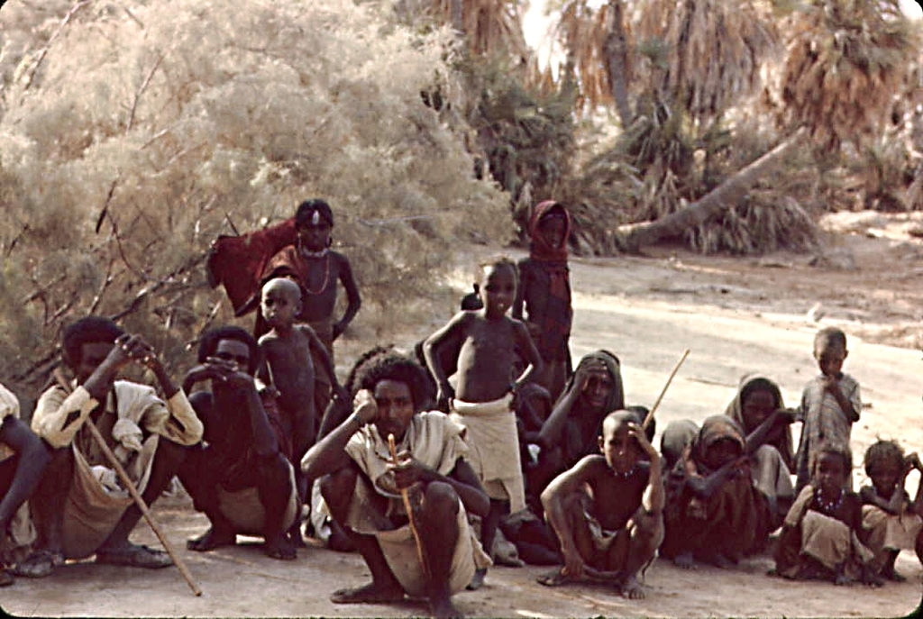
No huts or any sign of a village could be seen anywhere from where we encamped. Looking at Google's map at the beginning of this section and enlarging it, about 15 kilometers away from our location at the extreme north it may seem that within the densely forested shoreline (the green arc) there are huts and it is likely that there cannot be a better place along the lake's whole perimeter to set up a village. At the bottom of the same picture, the basaltic structure of the Gali-Cóma volcano which has caves (see map) from which apparently genuine troglodytes, naked and disarmed, waving their arms emerged; that suggested that we should push hard on the accelerator on our way towards Sardo to avoid unpleasant circumstances. |
next |

0031.jpg
516.69 KB